10 Reason Why Indianapolis Is Unlike Any Other U.S. City - Page 2

- Indianapolis has a complete beltway loop and farmland within city limits, unlike other major metros.
- The city rebuilt its economy around amateur and collegiate sports, hosting major events regularly.
- Indianapolis sits on the border of climate zones, giving it unpredictable weather compared to nearby cities.
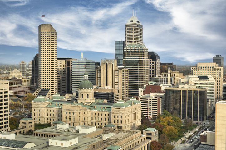
10 Reason Why Indianapolis Is Unlike Any Other U.S. City
Most people assume American cities all blend together. See one downtown, one set of suburbs, one interstate exit, and you’ve seen them all. But Indianapolis breaks that pattern in ways that surprise almost everyone who takes a closer look.
Indianapolis has characteristics that simply don’t exist anywhere else in the country. Two forces shaped it: a city planned from scratch in 1821 as a state capital, and a single 1970 decision that redrew its boundaries overnight.
Take a look below at 10 Reason Why Indianapolis Is Unlike Any Other U.S. City.
RELATED | The Smallest Towns in Indiana
RELATED | Top 25 Largest Cities In Indiana
RELATED | Top 10 Richest Towns in Indianapolis
1. The Indianapolis 500 & Motor Speedway
Every May, Indianapolis hosts the Indianapolis 500 at the Indianapolis Motor Speedway. This isn’t just a racetrack. It’s the highest-capacity venue for any sporting event in the world.
Permanent seating holds around 257,000 people. Add the infield, and you’re looking at roughly 350,000 attendees. That’s the combined populations of Carmel, Noblesville, Westfield, and Fishers packed into one place.
For comparison, the Kentucky Derby draws about 150,000, and a sold-out University of Michigan football game seats around 110,000. The Indy 500 pulls in nearly 100,000 more people than both of those events combined.
What this means for you: The event generates over $400 million annually. During race week, downtown hotels hit 100% capacity and restaurants stay packed for days. If you’re planning a May visit to scout neighborhoods, book early and expect higher prices.
4. Diagonal Streets Radiating from Monument Circle
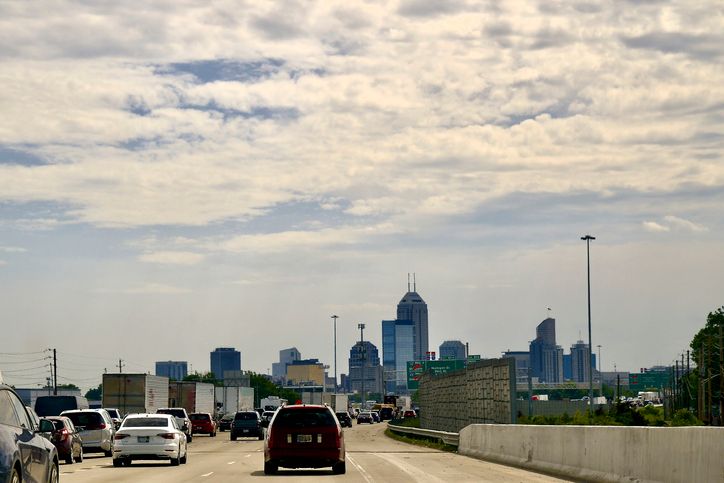
Walk into downtown, stand at Monument Circle, and look outward. You’ll see four diagonal avenues radiating from the center like spokes on a wheel.
- Massachusetts Avenue (Mass Ave) heads northeast into a major cultural hub.
- Virginia Avenue runs southeast through Fletcher Place and Fountain Square.
- Kentucky Avenue points southwest.
- Indiana Avenue extends northwest.
This design belongs to one surveyor, Alexander Ralston. He helped lay out Washington, D.C. in 1791 before designing Indianapolis in 1821. The plan draws from Renaissance ideal-city concepts and the Baroque use of diagonals to highlight monuments.
What this means for you: That layout created walkable, connected neighborhoods along the diagonal corridors, a big draw if you want to live or work downtown.
6. The True Crossroads of America
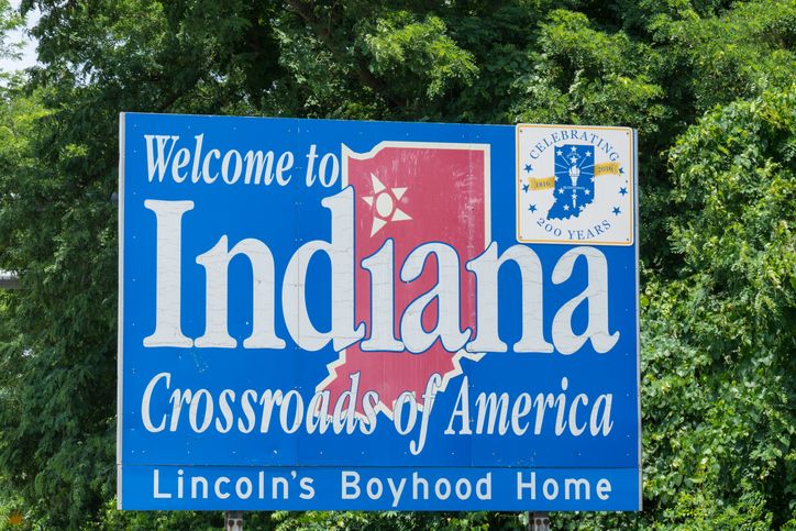
The city’s official slogan, “Crossroads of America,” is more than marketing. Indianapolis sits at the intersection of four major interstates: I-65, I-69, I-70, and I-74.
Thanks to that geography, more than 75% of the U.S. population lives within a single day’s drive. Consider the reach:
- Chicago: about 3 hours
- Cincinnati: under 2 hours
- Louisville: 2 hours
- Columbus, Ohio: under 3 hours
- St. Louis: under 4 hours
- Nashville: under 5 hours
The Indianapolis International Airport sits just 15 minutes from downtown and offers over 50 nonstop destinations. That access is why FedEx, Amazon, and other major distributors built here.
What this means for you: The location translates into strong job opportunities in logistics and distribution, plus easy travel if your work or family keeps you moving across the Midwest and Southeast.
9. A Unique Climate Zone Boundary

Indianapolis sits right on the line between two major climate zones. That makes the weather more unpredictable than cities firmly planted in one classification.
Spring and fall are often pleasant, especially fall, but they can shift fast. Temperatures might drop 30 degrees after sunset. You could see an 80-degree day, then get snow flurries within 36 hours.
Compare that to Columbus, Ohio, which sits clearly in the humid continental zone, and Louisville, firmly in the humid subtropical zone. Indianapolis is the meeting point between them.
What this means for you: If you’re moving from California or Florida, expect all four seasons, sometimes within the same week. The upside? Summers here are genuinely great.
10. The Most Populous City Not on Navigable Water
Nearly every major American city was built on water. New York has the Hudson and the Atlantic. Chicago has Lake Michigan. New Orleans sits on the Mississippi. Indianapolis has none of that.
As the 16th most populous city in the United States, Indianapolis is one of the largest cities in the world not located on a navigable waterway. When it was chosen as the state capital in 1821, planners assumed the White River would become a transportation artery. Instead, the river proved too shallow, full of sandbars and log jams, and unreliable for steamboats.
So the city built its economy on something else entirely. Railroads came first, then highways, then the federal interstate system.
What this means for you: As Encyclopedia.com notes, the city “became the world’s largest city not situated on a navigable waterway,” and development focused on “its central location.” That single fact explains the highways, the logistics economy, the planned layout, and the sports reinvention.
10 Reason Why Indianapolis Is Unlike Any Other U.S. City - Page 2 was originally published on wibc.com